
Program for the Study of Developed Shorelines
Science. Policy. Education. Outreach. Coastal.
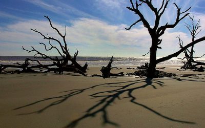
The Program for the Study of Developed Shorelines (PSDS) at Western Carolina University takes a worldwide view of modern coastal processes and geologic hazards, examines the scientific basis for managing developed shorelines in a time of rising sea level and advocates for the development and implementation of responsible strategies, plans, policies and actions that promote the long-term sustainability of our nation’s coastal ecosystems.
In the Spotlight


News Blog from PSDS
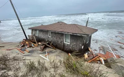
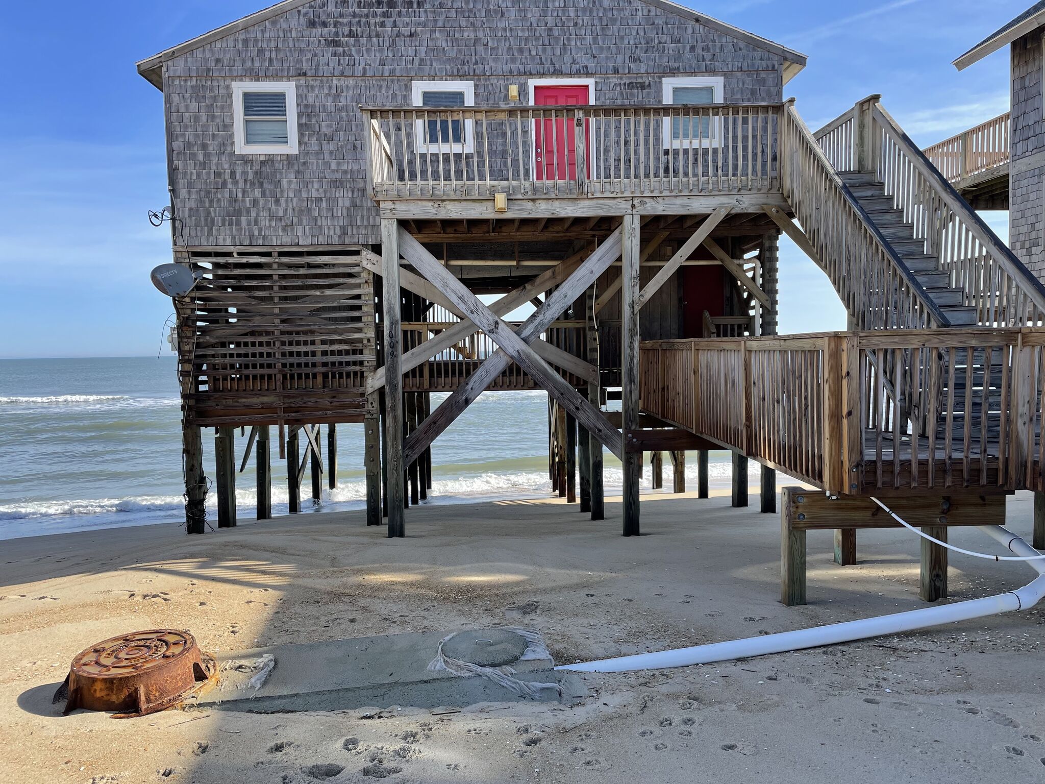
Study says buyout of threatened Outer Banks homes would be cheaper than beach nourishment
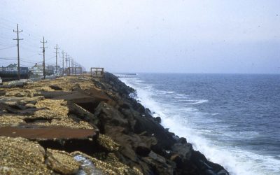
Op-Ed: In Florida, seawalls are not the answer
Maldevelopment, moral hazard, federal aid, and climate change adaptation on Dauphin Island
Leaking sewage a threat to SC coast
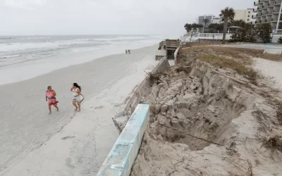
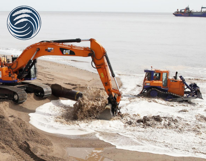
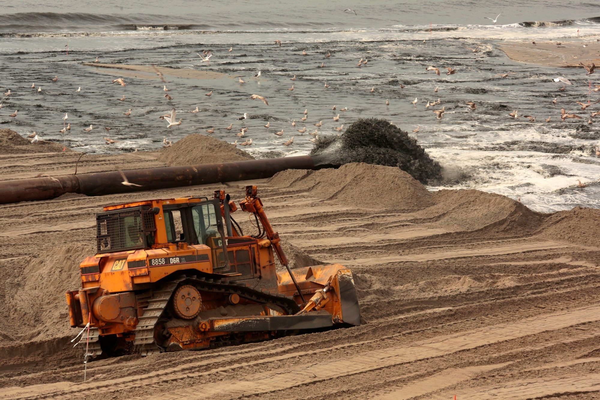
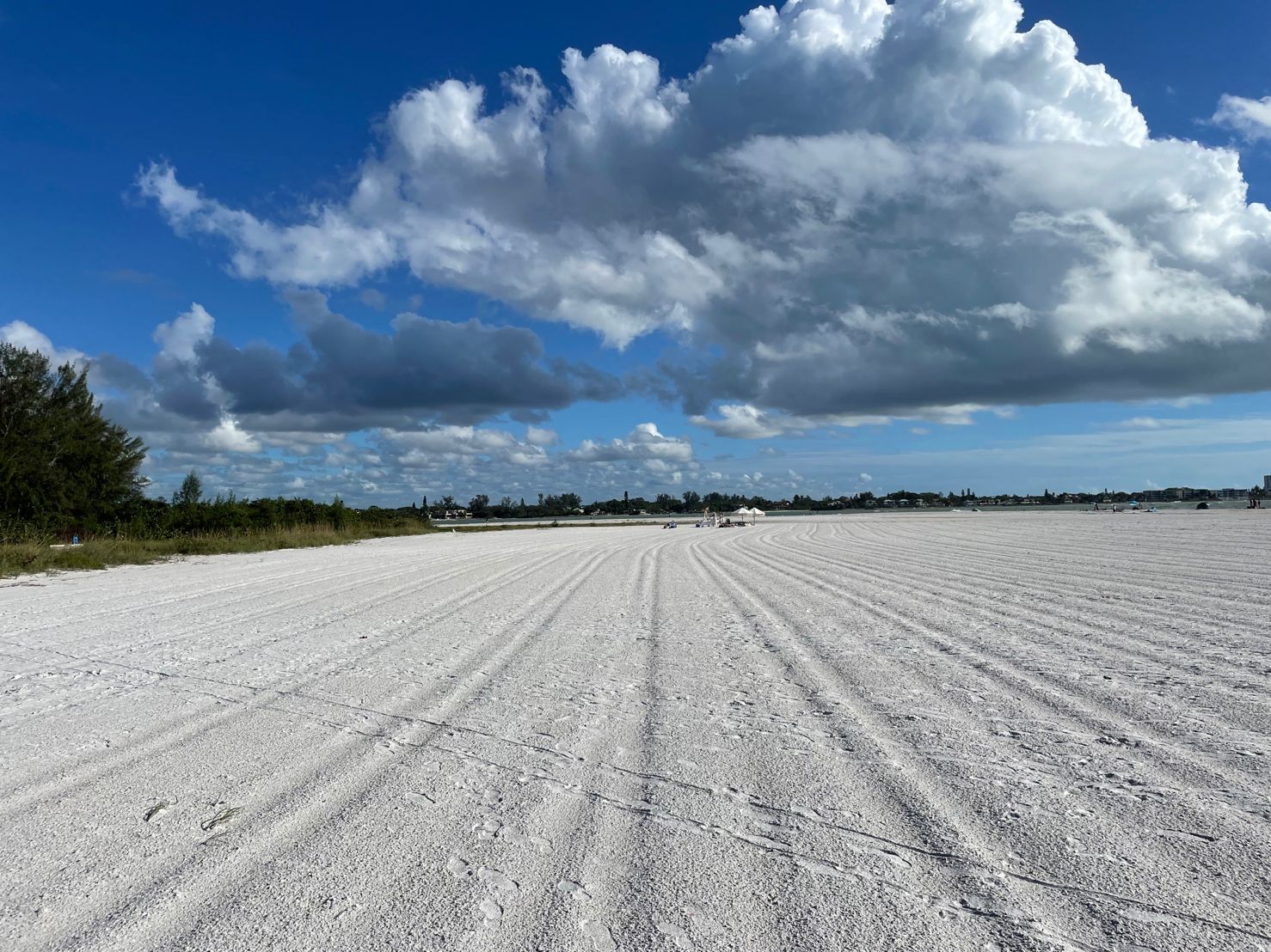
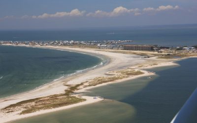
Florida beaches were already running low on sand. Then Ian and Nicole hit.

Climate change and the Gullah-Geechee Corridor
Program for the Study of Developed Shorelines
Old Student Union
Western Carolina University
Cullowhee, NC 28723